Cartography as conversation
We translate landscapes into language travelers can trust.
How we began
In 2018, a group of expedition planners noticed something peculiar. Despite advances in GPS technology, search and rescue operations were responding to more lost hikers than ever before.
The problem wasn't access to information. It was comprehension. Digital interfaces simplified navigation to the point where travelers stopped understanding the terrain they moved through.
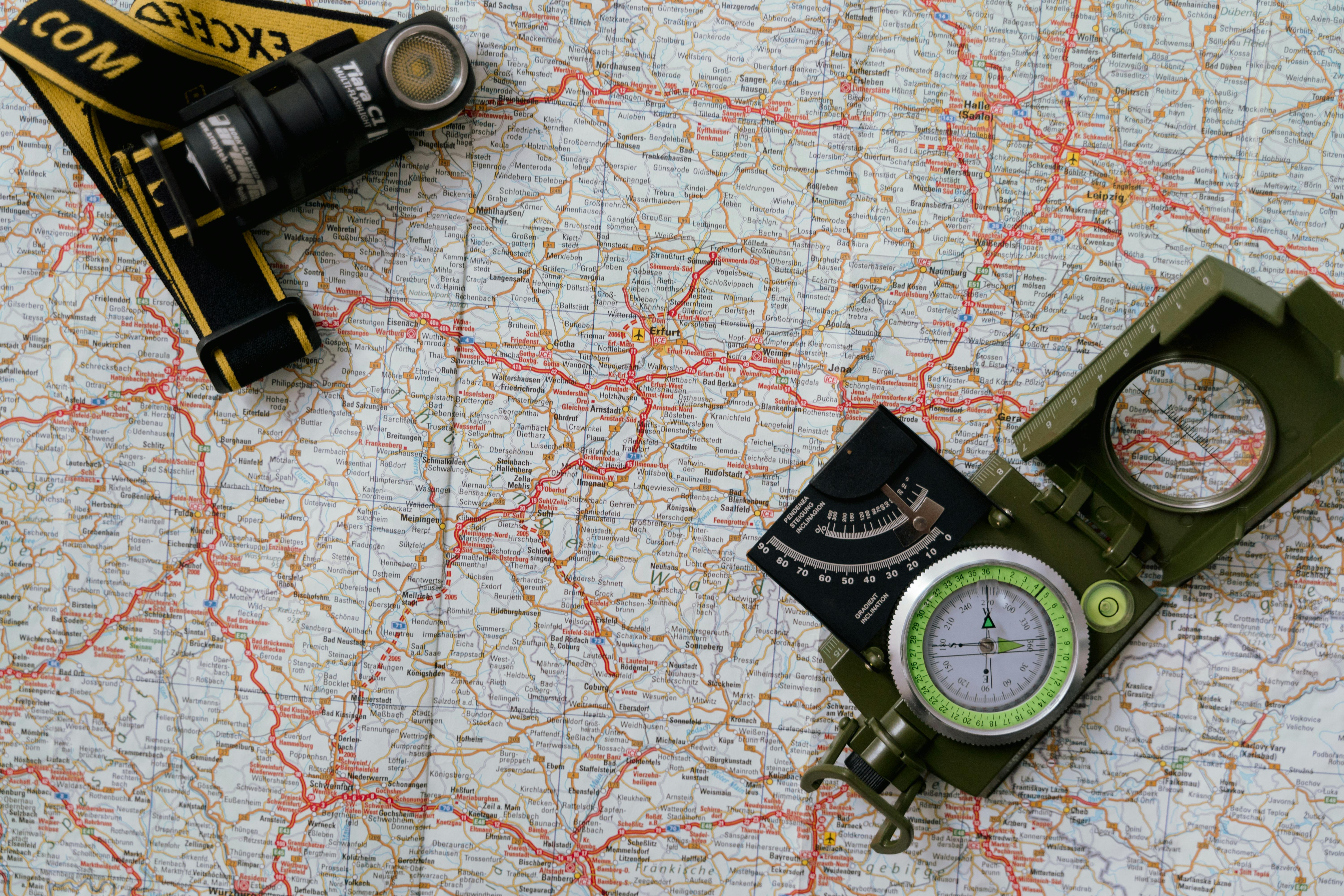
We started marsh-marmot to bridge that gap. Not by rejecting technology, but by creating physical tools that teach spatial literacy while guiding journeys.
Our process
Ground verification
We walk every route we map. Trail conditions change seasonally, and satellite data misses erosion, fallen trees, and rerouted paths.
Local consultation
Rangers, landowners, and longtime residents provide context no survey can capture. Water sources that dry in summer. Meadows that flood in spring.
Multi-season updates
Maps are revised quarterly based on field reports. What's passable in July may be impassable in November.
Material testing
Every substrate undergoes exposure testing. Rain, mud, folding stress, UV degradation. If it fails in any condition, it doesn't reach production.

What guides us
- Accuracy over artistry. Beautiful maps that provide incorrect information serve no one.
- Honesty about limitations. We mark areas where our data is incomplete rather than guessing.
- Accessibility without simplification. Learning to read a proper map takes effort, but that effort builds capability.
- Sustainability in production. We print on recycled materials and minimize packaging waste.
Who creates these
Our team includes licensed surveyors, former outdoor education instructors, and cartographers who've spent years in geographic information systems. We're distributed across the UK, which means we can verify regional maps through direct local knowledge rather than remote interpretation.
If you're using one of our maps and notice an error or outdated information, we want to hear from you. Accuracy is collaborative.