Our map collection
Each category addresses specific navigation challenges. Choose based on your terrain and journey type.

Regional Topographic Maps
£34.80
Waterproof laminated maps covering a 25-kilometer radius from your selected central point. Features include elevation contours at 10-meter intervals, marked water sources, and seasonal trail condition indicators updated quarterly.
- Scale 1:25,000 for detailed navigation
- UTM grid overlay for GPS coordination
- Magnetic declination reference current to publication date
- Escape route highlighting for emergency planning
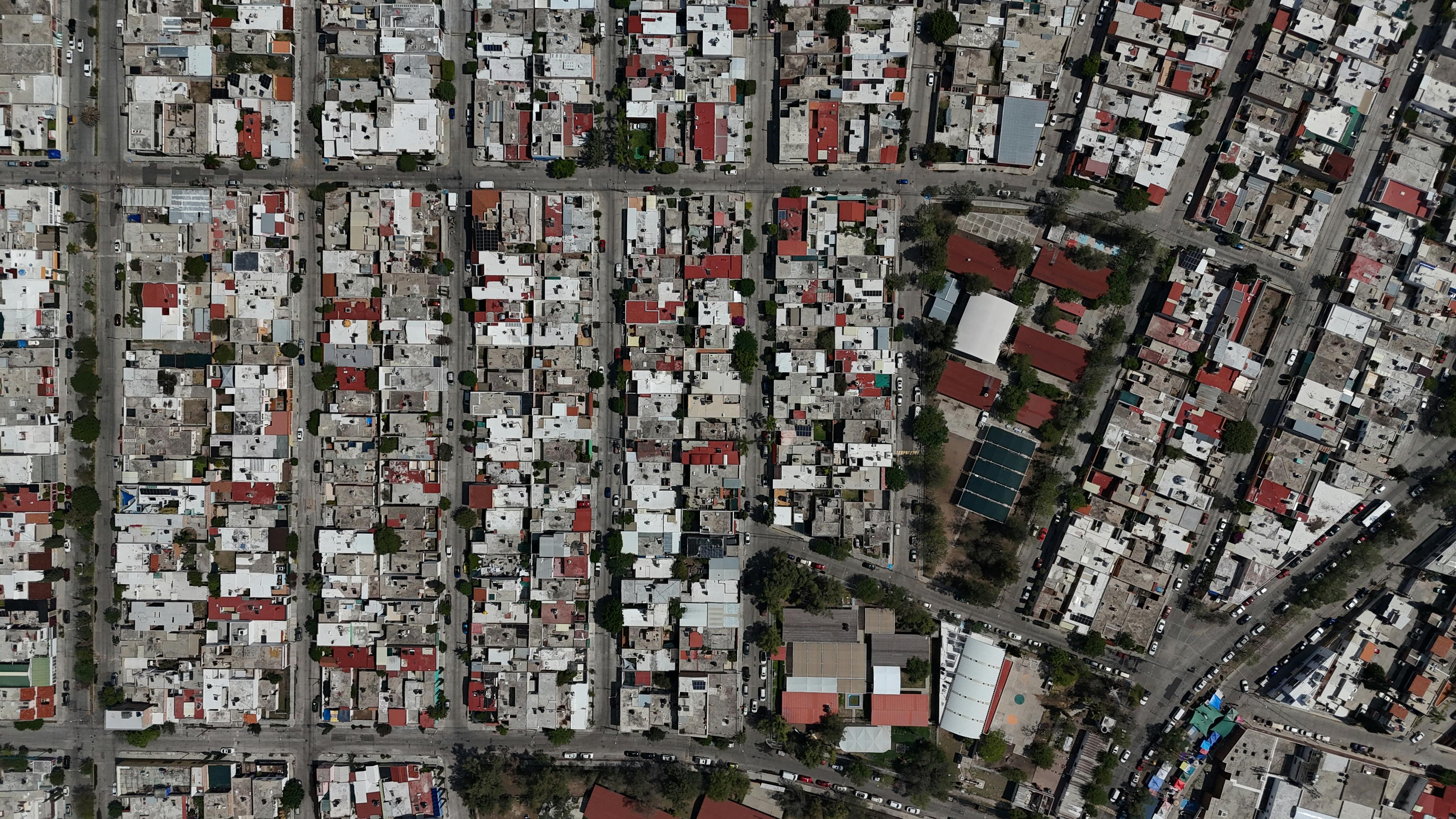
Urban Navigation Charts
£18.50
Pocket-sized city maps designed for walking exploration. Highlights pedestrian-friendly routes, public transport connections, and cultural landmarks with historical context.
- Folded format fits standard jacket pockets
- Water-resistant coating for all-weather use
- Walking time estimates between major points
- Public restroom and water fountain locations

Coastal Route Guides
£41.25
Specialized maps for coastal path navigation. Includes tide tables, harbor access points, cliff path safety zones, and emergency contact coordinates for each mapped section.
- High/low tide timing for beach access routes
- Cliff edge proximity warnings
- Nearest lifeboat station locations
- Weather exposure ratings per section

Custom Route Planning
£67.90
Personalized maps designed around your specific journey. We incorporate your waypoints, preferred terrain difficulty, and time constraints into a bespoke navigation document.
- Consultation to understand route objectives
- Terrain difficulty ratings for each segment
- Camping/accommodation suggestions along route
- Resupply point identification and timing

Adventure Archive Collection
£89.60
Curated sets of historically significant route maps. Ideal for collectors or those retracing famous expeditions. Each set includes modern safety overlay data while preserving historical cartographic detail.
- Original route documentation and modern comparison
- Historical context notes and expedition background
- Current trail condition updates where routes still exist
- Archival-quality printing for preservation
Common questions
How often are maps updated?
Topographic and coastal maps receive quarterly field verification. Urban charts are updated biannually. We email previous purchasers when significant route changes affect their maps.
Can I request a region not currently listed?
Yes. Custom mapping projects require a minimum lead time of six weeks for initial survey and verification work.
What if I find an error on a purchased map?
Contact us with the specific location and discrepancy. We verify all reported issues within 72 hours and provide corrected versions at no charge if the error is confirmed.
Are these maps suitable for emergency services?
Our grid systems align with standard search and rescue coordinates, but emergency services maintain their own specialized mapping. These are designed for personal navigation and trip planning.